The Boundary Waters Question
When a 20-year mining protection was revoked near the Boundary Waters in April 2026, the question became — what does the water look like right now, before anything changes? Nobody had a good answer.
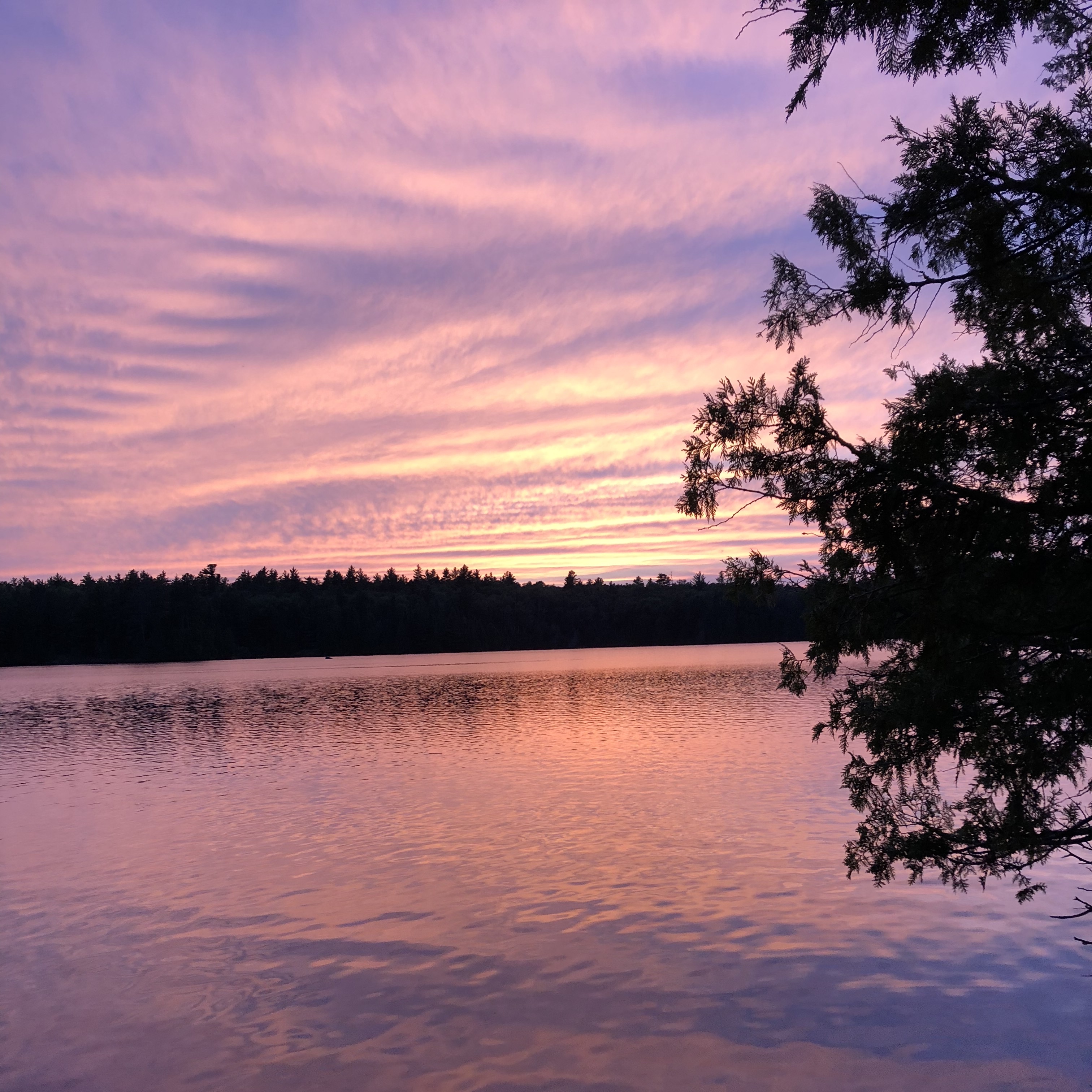
Boundary Waters Canoe Area Wilderness — Photo: CC BY-SA 4.0 via Wikimedia Commons
What happened
On April 27, 2026, President Trump signed HJ Res 140 into law, revoking the 20-year mineral withdrawal that protected roughly 225,000 acres of Superior National Forest — the watershed that drains directly into the Boundary Waters Canoe Area Wilderness and Voyageurs National Park.
The direct beneficiary is Twin Metals Minnesota, a subsidiary of Chilean mining conglomerate Antofagasta, which has sought to develop a sulfide-ore copper-nickel mine in the Duluth Complex for over fifteen years. The 2023 Forest Service environmental assessment concluded that sulfide-ore copper mining near the BWCAW would cause irreversible harm to the ecosystem and downstream waters.
The resolution passed the House 214-208 in January 2026 and the Senate 50-49 on April 16. It uses the Congressional Review Act to nullify a Public Land Order — a novel use of the CRA that has raised concerns about precedent for other protected lands.
A mine hasn't been approved — that's still years of environmental review away. But the federal barrier that blocked it is gone. And the environmental review, whenever it begins, will need baseline water quality data for the Rainy River watershed. That data needs to exist before anything changes — not after.
The monitoring gap
Minnesota has 11,842 lakes of ten acres or larger. The state's most intensive monitoring program — the DNR's Sentinel Lakes (SLICE) program — covers 25 of them. The MPCA samples individual lakes once per month from May through September, and most lakes only get that attention one or two years per decade on a watershed rotation.
About 1,400 volunteers help by measuring water clarity with Secchi disks — a white disc lowered into the water until you can't see it anymore. That tells you one thing: clarity. It doesn't tell you oxygen levels, temperature at depth, pressure trends, or any of the other measurements that would actually show whether water quality is changing over time.
For the vast majority of Minnesota's lakes — including most of the lakes in the BWCAW watershed — continuous water quality data simply does not exist. If something changes, there's no baseline to compare it to.
Building the record
Nemo's Eye is a sensor array that measures water temperature, dissolved oxygen, clarity, depth, and barometric pressure — continuously, in real time, at the actual depth where it's deployed. Every reading is GPS-tagged, timestamped, and scored for data quality based on the device's calibration status.
The consumer product is built for anglers — it helps you fish smarter. But every fishing session also generates water quality data. Anonymized, location-tagged, and fed into a shared dataset that agencies, researchers, and watershed organizations can access.
That's the model: anglers voluntarily become the research network. The people who use the water most are the ones building the record. They don't have to do anything extra — the sensor does it automatically. And the more people fishing with Nemo's Eye, the denser and more valuable the dataset becomes.
For the BWCAW watershed specifically, this means continuous baseline data collected at a resolution that no agency budget can match — not because agencies don't want the data, but because they don't have the funding or staff to deploy thousands of sensors across thousands of lakes. The angler community already has the access, the motivation, and the presence on the water. Nemo's Eye gives them the instrument.
Why the clock is running
Every month of continuous water quality data collected in this watershed beforean environmental review begins is data that becomes part of the record. It's legally and scientifically material — whether a mine is ever built or not.
If the mine is built, the baseline data becomes the reference point for detecting any changes downstream. If the mine is never built, the data becomes a record of what the watershed looked like at the moment the decision was being contested. Either way, the data has value. Either way, it needs to exist.
This isn't limited to the Boundary Waters. The same dynamics apply anywhere industrial development is proposed near a watershed — mining, agriculture, energy production, data centers. The question is always the same: what did the water look like before? And the answer is almost always the same: nobody was measuring it.
Sources
- H.J.Res.140 — Congress.gov
- Trump Signs Bill Ending Boundary Waters Mining Ban — GearJunkie
- Boundary Waters mining ban ends — FOX 9
- Senate Votes to Strip Boundary Waters Protection — Earthjustice
- HJ Res 140 Update — Save the Boundary Waters
- What Comes Next for the Boundary Waters — Friends of the BWCA
- Sentinel Lakes (SLICE) Program — Minnesota DNR
- What's Next for the Boundary Waters — Field & Stream
Disclaimer
The information on this page is compiled from publicly available news reports, government filings, court records, and peer-reviewed research. All sources are cited inline and listed above. This content is provided for informational and educational purposes only and does not constitute legal, environmental, or scientific advice.
Nemo's Eye and 10th Street Ventures LLC do not make independent claims of wrongdoing, liability, or regulatory violation against any company, agency, or individual referenced on this page. Where allegations, lawsuits, or regulatory actions are described, we are reporting matters of public record as documented by the cited sources. Settlements referenced do not constitute admissions of fault or liability unless explicitly stated by the parties involved.
Water quality conditions, regulatory landscapes, and legal proceedings described here are subject to change. Information is current as of the date of the cited source material. Readers should consult the original sources and qualified professionals for the most current information and before making decisions based on this content.
Nemo's Eye is a water quality monitoring platform. The environmental data collected by Nemo's Eye sensors is raw observational data contributed voluntarily by users. It is not a substitute for certified laboratory analysis, regulatory compliance monitoring, or professional environmental assessment.
Be part of the record.
Every angler with a Nemo's Eye sensor voluntarily contributes to the most detailed freshwater dataset ever assembled. Fish smarter. Build the baseline.
Join the Waitlist →